Amsterdam metro map
2023
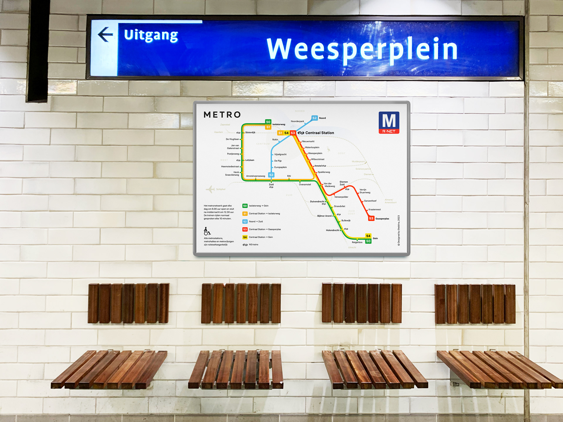
The Amsterdam Metro is a rapid transit system serving the city of Amsterdam and some surrounding areas in the Netherlands. The metro network comprises five routes, connecting 39 stations, covering a combined distance of 42,7 kilometers.
The network is used by approximately 54 million people annually. For convenience of use, a clear and straightforward map (v 1.0) has been designed.
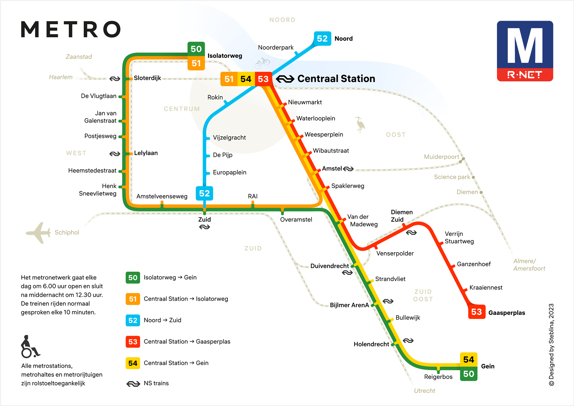
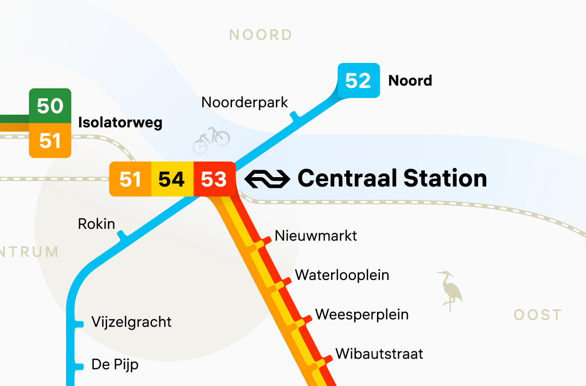
The visual schematic representation conventionally mirrors the geography of metro lines, maintaining a strict and geometric structure. The additional value is provided by the railway lines, allowing for the planning of intricate routes. Transfer stations are marked with the NS logo, medium typeface, and connected by a station marker, while non-transfer stations face in a different direction.
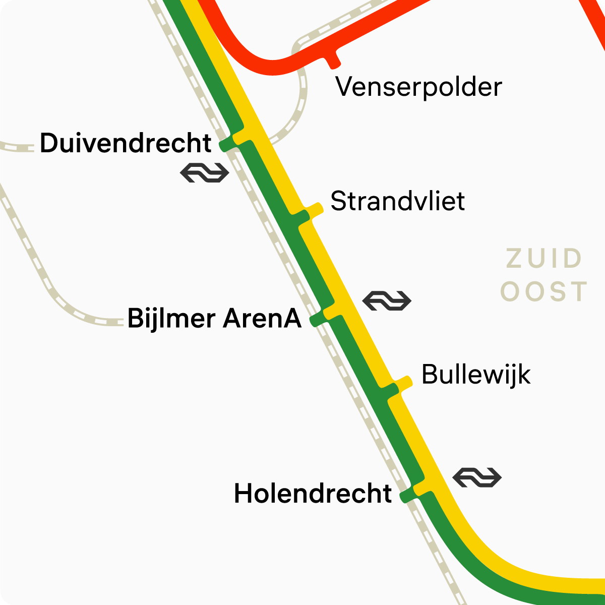
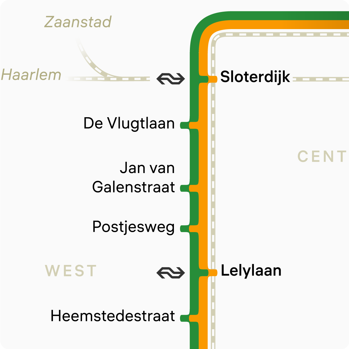
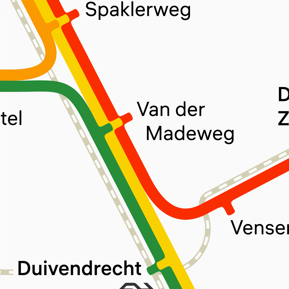
The terminal stations are prominently highlighted and elevated above the line through a subtle shadow and bold typeface, allowing the viewer's eyes to quickly locate the necessary information.
One can observe delightful local details, such as a sunken bicycle in the river or a heron strolling through the city.
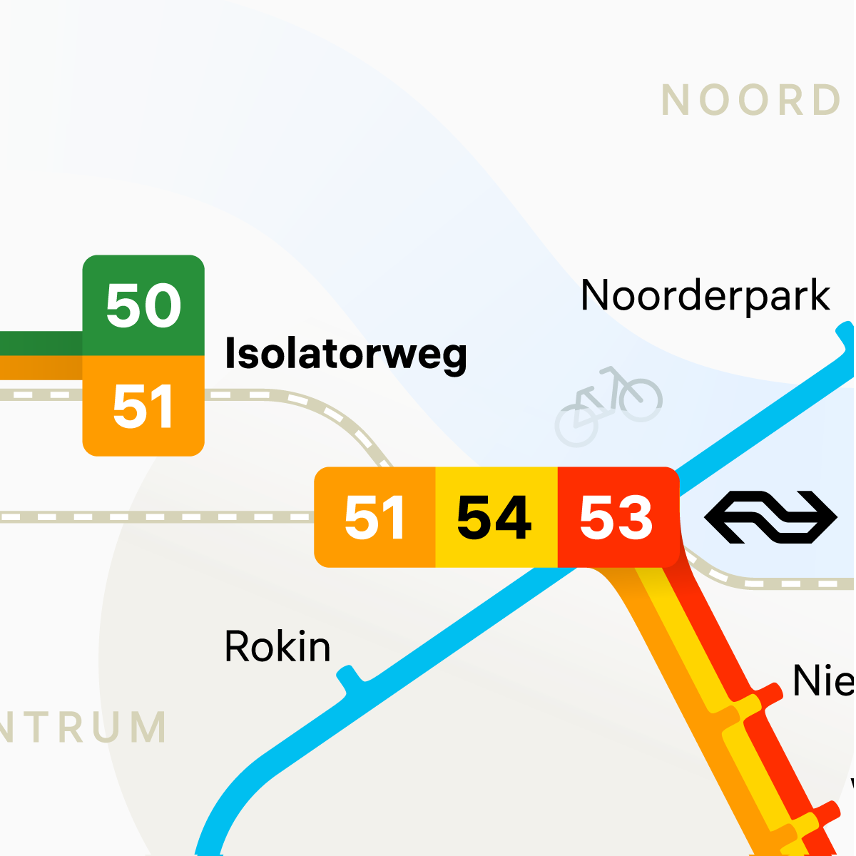
The aesthetically pleasing parametric corner fillets make transitions between lines more organic and visually appealing. This adds uniqueness to the scheme and enhances attention to detail.

Geometrically rounded corner

Parametrically rounded corner
The metro is like a teleport from point A to point B, so the river and city center are symbolically marked—they are not used as landmarks during the journey. This approach provides a quick understanding of the traveler's location without overloading the map with informational details.
All stations are equipped to accommodate individuals with limited mobility.

A discerning eye will find a modest "thank you" to the Dutch in the alternative version of the map.