Odessa tram map
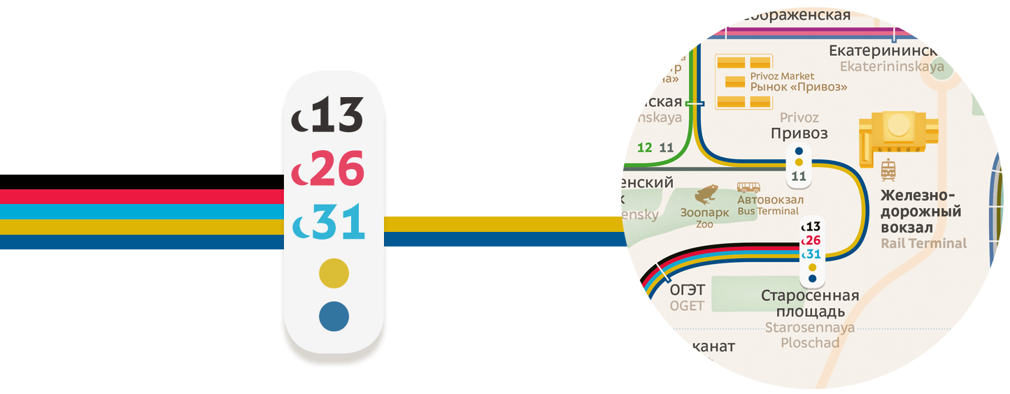
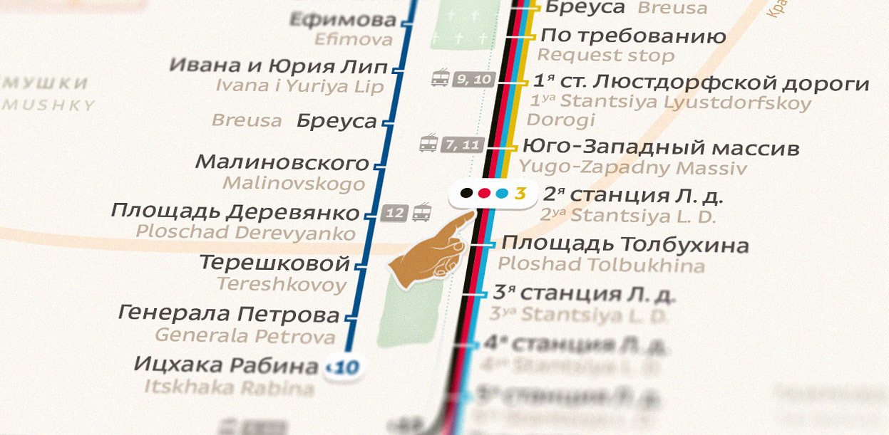
To make it easy to get around the city a detailed and informative route map was designed. Geographical, toponymic and navigational layers allow users to plan their route.
![](https://cdn.myportfolio.com/430624b0-c220-464a-8aeb-9a3ffc4d5793/0a249a84-a57c-460c-94da-3c5a5c790206_rw_1920.jpg?h=c9a77cfda97528f14828366e420956b0)
![](https://cdn.myportfolio.com/430624b0-c220-464a-8aeb-9a3ffc4d5793/7447c1db-7c5c-4bb6-8a28-37c93330c22b_rw_1920.jpg?h=7b3e678a03d348457769cb5bf7a7c352)
Stops and transit stations are marked with white bar and specific color.
![](https://cdn.myportfolio.com/430624b0-c220-464a-8aeb-9a3ffc4d5793/1b78067f-eb5e-44a4-b877-4d9d9bfd8c89_rw_1920.png?h=e0b2886c0b6e78dd46f9d63e2762d52e)
![](https://cdn.myportfolio.com/430624b0-c220-464a-8aeb-9a3ffc4d5793/af8b6645-044c-471c-be32-eadd365a50eb_rw_1920.jpg?h=8768f2b611c4141dae2850c5bd635434)